
LAS VEGAS (KTNV) — Chilly breezes from the northwest have morning temperatures in the 40s, so grab a jacket as you head out.
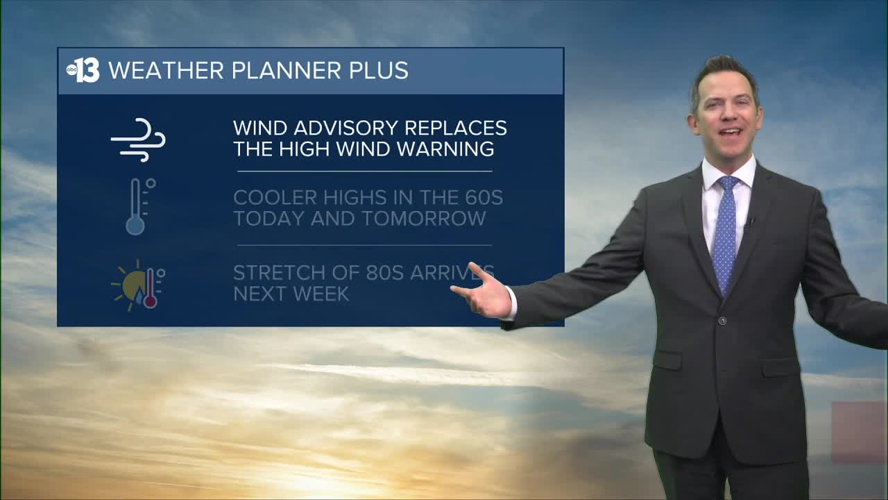
A Wind Advisory has replaced our High Wind Warning, and gusts will reach 30-35 mph today as sunshine returns. Highs are limited to the mid 60s this afternoon, which is nearly 10° cooler than yesterday.
As winds relax to 5-15 mph later tonight, lows tumble to the low 40s.
Northeast gusts reach 15-20 mph Wednesday as the sky turns partly cloudy in the afternoon and highs remain in the mid 60s after a chilly start in the 40s.
Thursday is the official start of spring (equinox is 2:01 a.m. local time) and we'll enjoy highs near 70° after another chilly beginning in the 40s. Breezes from the northwest will be light, at 5-15 mph, and the sky should be partly cloudy.
Friday and Saturday remain fairly calm, with gusts of 15 mph, as highs move from the low 70s to the mid 70s and a partly cloudy sky continues.
Lows Friday night and each weekend night will dip to the low 50s.
Sunday sees a high of 77° with a mostly sunny sky and northeast breezes at 10-20 mph.
Warmer highs in the low 80s Monday will climb to the mid 80s Tuesday and Wednesday.
The UV index is "moderate" from 10:00 a.m. to 3:00 p.m. (sunburn in 45 minutes) and "high" from noon to 2:00 p.m. (sunburn in 30 minutes) so sunscreen and a hat are a good idea when the forecast includes some sunshine, even when temperatures are cool.
The forecast pollen levels are high this week, with mulberry, ash, and juniper the predominant pollen types.
The air quality forecast is "good" today and tomorrow as northwest and northeast breezes clear out pollutants.
